

Projects
Your Vision, Our Expertise, Shared Success


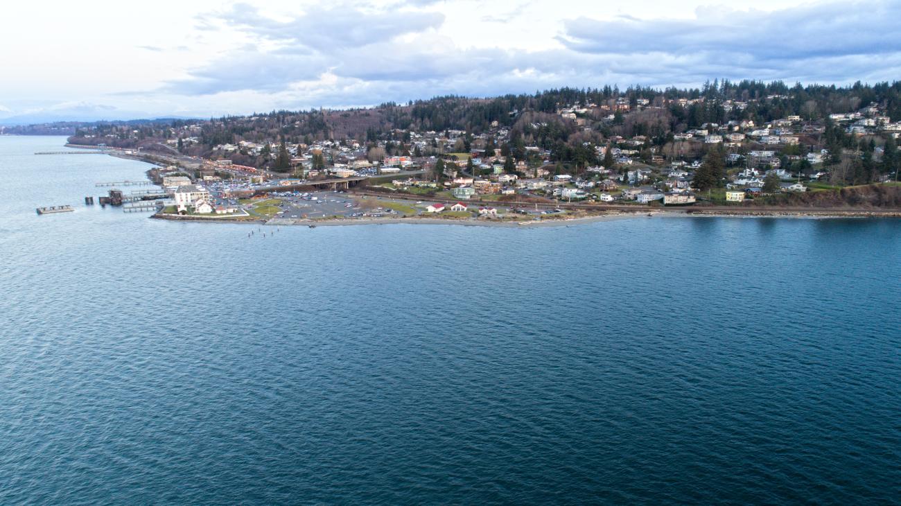
Client: City of Mill Creek
Fifteen minutes north of Seattle you’ll find the humble, yet growing City of Mill Creek. The City has been using GIS through the ArcGIS Online environment by creating web maps to view and manage their data and foster public engagement. Wanting to utilize GIS to its fullest, the City brainstormed ways to use the ESRI suite of tools to optimize workflows in the field, eventually deciding to create a digital form to complete catchbasin inspections. At the time, field staff performed these inspections via paper forms that proved unwieldy and inefficient.

Client: Pierce County Conservation District
Pierce Conservation District sought guidance from FLO on advancing and further developing their GIS program, taking into consideration that many groups are using GIS throughout the organization. As a first step, FLO conducted a GIS needs assessment to objectively evaluate the District’s current use of GIS and to provide recommendations for optimizing their use of GIS in the future.

Client: City of Camas
The City of Camas, Washington, has a population of approximately 26,000 and borders both Vancouver and Washougal. Originally built around a paper mill, the City is committed to revitalizing its downtown while paying homage to its historic past. Today, Camas is a vibrant, walkable community that has maintained many of its historic buildings.

Client: City of Yelm
In 2016 the City of Yelm, Washington completed a Stormwater Management Plan funded and approved by the Department of Ecology (DOE) and the Yelm City Council. The plan included a gap analysis which identified an urgent need to inspect and map the city’s stormwater utility system, both public and private. Many system features were either unknown or missing critical information, such as pipe size, flow direction and capacity, invert elevations, and outfalls. Due to Yelm’s anticipated population growth, this data was necessary to migrate into an NPDES Phase 2 program.

Client: Whitman County
Whitman County in eastern Washington is home to over 45,000 residents and contains roughly 160 square miles of land. This county was one of the last in the nation to digitize its parcel data in GIS, so the County reached out to FLO, which had also begun a similar parcel mapping project for Pullman, the county’s largest city.
Client: Business Oregon
Business Oregon focuses on creating, retaining, expanding, and attracting businesses to the state. They aim to pinpoint opportunities and constraints impacting employment in the various regions they serve. They intended to create a regional inventory of properties and existing conditions in the North Santiam Canyon to aid regional and local wastewater system planning and short- and long-term economic planning. Oregon’s North Santiam Canyon region includes Mill City, Lyons, Mehama, Gates, Detroit, and Idanha, with around 4,500 residents.
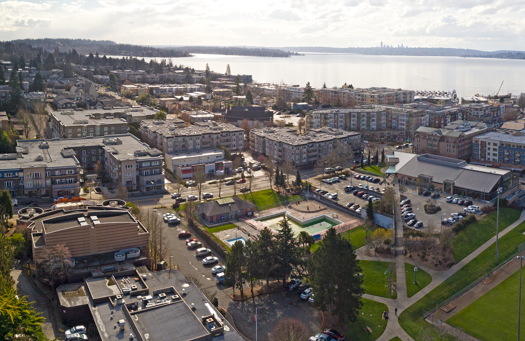
Client: AWC City of Sammamish
The City of Sammamish (population 68,000) is located next to Sammamish Lake in the populous King County, Washington. The city’s proximity to Seattle and Bellevue and the pace of development in the region have led to significant urban development and population growth, which has increased the GIS-related workload of City staff.
Client: City of Mukilteo
The City of Mukilteo, with a population of about 21,000, provides a range of services to residents, including police, fire, street, community development, and parks and recreation. The City had grown its GIS program internally and was interested in developing a strategic plan to ensure that it could make the most of its resources and identify requirements in advance. The strategic plan encompassed a six-year horizon and included an Enterprise GIS implementation component.
Client: Clark Regional Wastewater District
Clark Regional Wastewater District, one of Washington's largest wastewater districts, has experienced considerable expansion of its service territory over the past decade, which has resulted in maintenance cost increases. The District was interested in determining if there is a more efficient approach.

Client: Clark Regional Wastewater District
Clark Regional Wastewater District is one of the largest wastewater districts in the State of Washington and provides professional wastewater services to more than 81,000 people throughout Clark County. The District wanted to understand the requirements for developing and optimizing its integrated asset management system and migrate to a GIS-first approach internally. Working with their engineering team and staff from the back office to field crews, FLO worked with the client to establish the District’s overall goals.

Client: City of Vancouver
The City of Vancouver, Washington with a population of over 190,000, is the fourth-largest city in Washington. The City is responsible for developing comprehensive transportation plans and strategies and maintaining over 600 miles of streets and 645 miles of sidewalks. With several departments jointly responsible for maintenance and planning, the City was interested in conducting an independent review of their use of GIS to identify opportunities to further optimize and integrate GIS within the City’s transportation-related departments.
Client: City of Scappoose
The City of Scappoose needed to expand the ability of its staff to access GIS data, while making it easier to maintain it, especially for editing data attributes and adding new features. In addition, the City desired to eventually share GIS data directly with the public. The existing GIS system was based on using local files and an application that needed to be installed on each computer to work.

Client: Whatcom County Health Department
The Whatcom County Health Department is mandated to protect public health and the environment by ensuring that any well, including drinking water wells, is not constructed within a 1,000-foot buffer of any active, inactive, closed, or illegal solid waste landfills. Drilling wells within 1,000 feet of any type of landfill may cause a public health risk, potentially degrade the environment, and/or contaminate the aquifer.

Client: Seattle Public Schools
Seattle Public Schools (SPS) must update its long-range facility plan every six years. The plan provides a framework for capital levy planning, as required by the Washington Office of Superintendent of Public Instruction (OSPI). One of the pillars of the plan is student enrollment projections for the district’s 105 schools and programs.

Client: San Francisco Unified School District
San Francisco Unified School District (SFUSD) is California's seventh-largest school district, responsible for the education of nearly 50,000 students across 132 schools. SFUSD engaged FLO to provide ten-year enrollment forecasts and demographic analysis to inform budgeting, staffing, facilities utilization, enrollment capacities, and student assignment boundaries.

Client: North Clackamas School District
In the late 2010s, North Clackamas School District (NCSD) was experiencing significant enrollment growth in one half of the district, requiring a new elementary, middle, and high school to accommodate enrollment increases. FLO began its relationship with NCSD by helping the district plan for necessary attendance area changes, including pre-boundary review analysis, development of boundary scenarios, and facilitation of committee meetings.

Client: Port of Bellingham
The Port of Bellingham commissioned the Whatcom County I-5 Infrastructure Study project as part of their Regional Economic Partnership (REP) with Whatcom County. As the Associate Development Organization (ADO) for Whatcom County, the REP is responsible for economic development and growth for the entire county. There was no way for the organization to easily understand factors impacting development along the I-5 corridor region as a myriad of public and private parties in different formats held the data.
Client: AWC Woodinville Water District
Woodinville Water District has served customers in King County, Washington, since 1963, adding sewer services in 1969. It is the tenth largest water and sewer district in Washington state, with over 14,700 water customers and nearly 3,500 sewer customers.