Public Engagement Tools
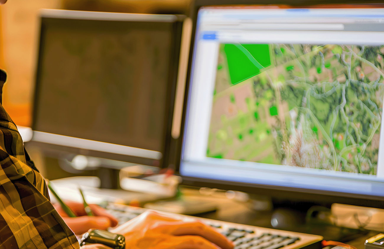
Public comment and engagement are keys to achieving better and more inclusive decisions. Our geographers and communications strategists assist organizations with innovative strategies and technologies—such as interactive web maps and dashboards that enhance stakeholder involvement and communication—that support community engagement. We offer tailored solutions that foster meaningful interactions and build strong, lasting relationships with your audience.
Services Provided
Public Engagement Tools
Esri StoryMaps
Our company offers comprehensive Esri StoryMaps services, empowering organizations to craft compelling narratives using spatial data. With our expertise in Esri's StoryMaps platform, we help clients create immersive digital experiences that combine maps, images, and multimedia elements. From interactive storytelling to data visualization, we tailor each StoryMap to effectively communicate key messages and insights. Whether for educational purposes, marketing campaigns, or public outreach initiatives, our StoryMaps services enable clients to captivate audiences and drive engagement with their stories.
Esri Hubs and Open Data Portals
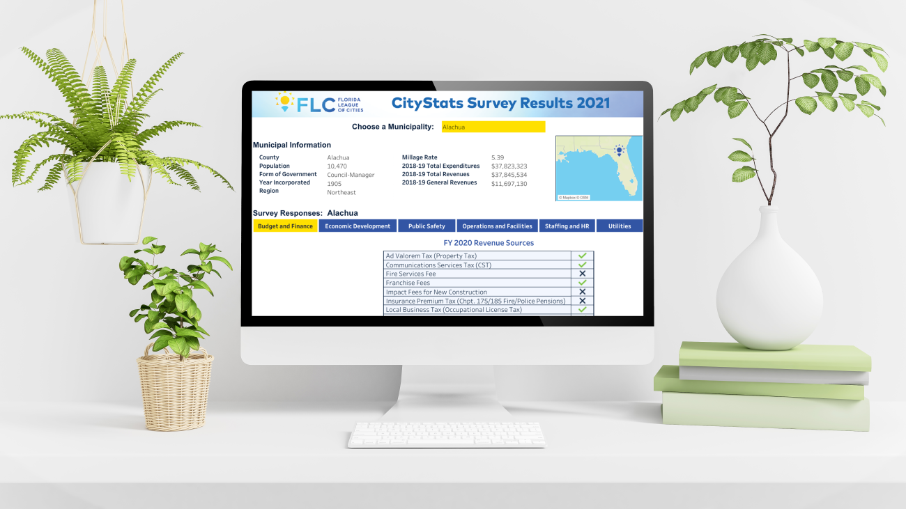
Our company specializes in developing Esri Hubs and Open Data Portals, providing organizations with robust platforms to share and collaborate on spatial data. Leveraging Esri's advanced technology, we design and customize Hubs and Portals tailored to the unique needs of each client. Our services include data organization, visualization, and publishing, ensuring that employees and the community can easily discover, access, and use geospatial information. Whether it's for government agencies, nonprofits, or businesses, our Hubs and Open Data Portals empower organizations to foster transparency, innovation, and data-driven decision-making within their communities.
Participatory Maps and Surveys
Our participatory mapping service empowers communities and stakeholders to actively engage in the mapping process, fostering collaboration and inclusivity. Through workshops, training sessions, and user-friendly mapping tools, we enable internal users or members of the public to contribute their local knowledge and perspectives to the creation of detailed maps. By surveying the community and incorporating diverse voices and perspectives, our approach ensures that maps accurately reflect the needs and priorities of the communities they serve. From environmental conservation projects to urban planning initiatives, our participatory mapping service facilitates informed decision-making and sustainable development outcomes.
Web Maps and Dashboards
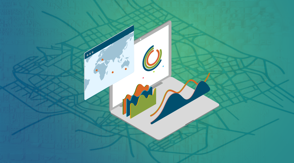
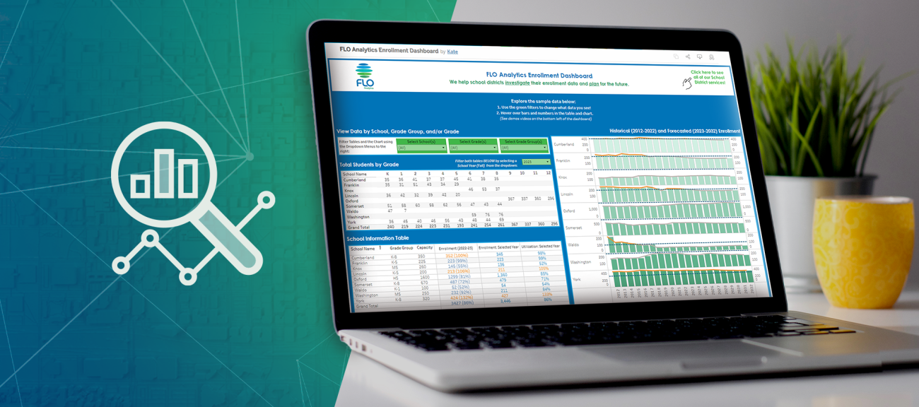
Our company specializes in creating dynamic web maps and dashboards that leverage the power of spatial data visualization. Using cutting-edge technologies such as Esri's ArcGIS Online platform, we design intuitive interfaces that can enable internal users or members of the public to explore and analyze geographic information effortlessly. From interactive maps displaying real-time data to customizable dashboards offering actionable insights, our services cater to a wide range of industries and applications. Whether it's for asset tracking, emergency response, or urban planning, our web maps and dashboards provide organizations with the tools they need to make informed decisions and drive efficiency.
Unmanned Aerial Systems Photography and Video
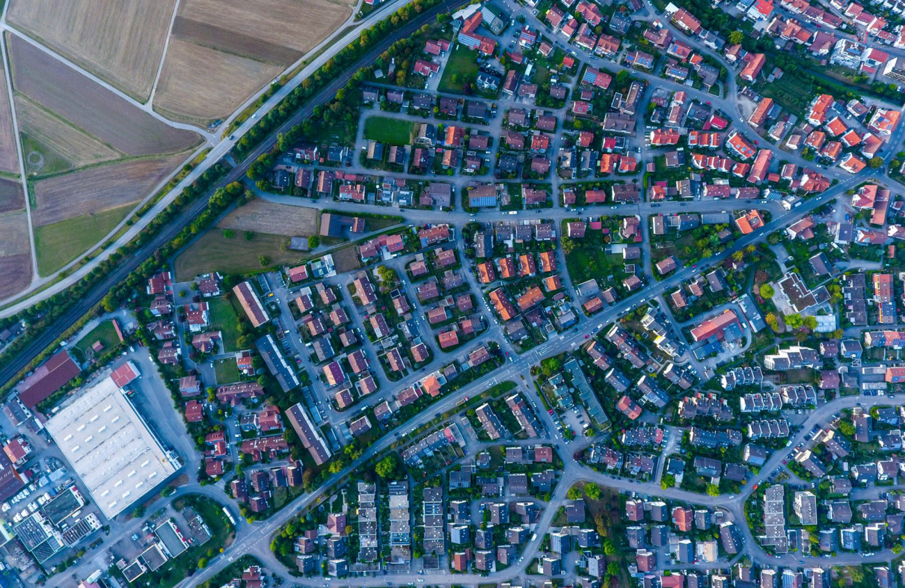
Our unmanned aerial systems photography and video service not only provides stunning aerial imagery for industries such as construction and real estate but also integrates seamlessly with GIS mapping solutions. Using state-of-the-art drones equipped with high-resolution cameras, we capture precise aerial data to create detailed GIS maps. Whether you need aerial surveys for site analysis, marketing materials, or progress tracking on large-scale projects, our UAS service delivers exceptional visual content tailored to your specific needs. With a focus on safety, efficiency, and regulatory compliance, we provide reliable aerial solutions that enhance your GIS capabilities and project success.
Contact
Public Engagement Tools Inquiries
Thanks for your interest in FLO. Whether you are looking to start a project, get support, or just have a general question, we'd like to hear from you. Please reach out and we will get back to you.


