
Who We Serve
Empowering Public and Private Clients with Data-Driven Solutions
Our company specializes in providing tailored GIS services to government agencies, helping them harness the power of geographic data to improve decision-making and operational efficiency. By partnering with us, governments can enhance urban planning, optimize resource allocation, and improve public works, utilities, and redistricting through precise and actionable insights.
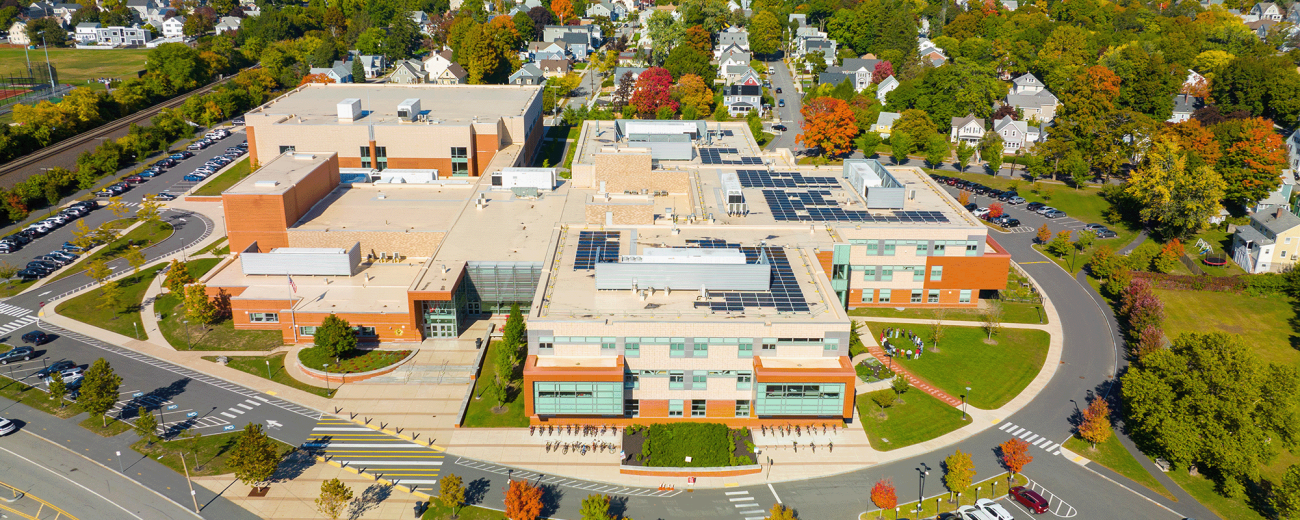
FLO partners with school districts across the nation to create innovative, data-driven, and community-focused planning solutions that foster educational equity for all students.
Advocate, educate, build community, and operate programs—the mandates of associations are as broad as their missions are diverse. We create data analysis and visualization tools to help associations provide more value to members and their constituents, from amplifying advocacy campaigns to increasing operational efficiency.
We provide specialized GIS services for the nonprofit sector, working with organizations such as conservation groups, NGOs, and civil rights organizations. Our services include mapping, spatial analysis, and data visualization; we help these organizations leverage geographic data to optimize resources, understand community needs, and drive meaningful social and environmental change.
Our GIS consulting services assist private businesses in making data-driven decisions through comprehensive geographic analysis. Whether you're siting your next business, conducting a trade area analysis, understanding customer profiles for prospecting, or performing market assessments, we offer spatial analysis and custom mapping solutions. Gain valuable insights to drive growth, optimize operations, and outpace the competition.


