GIS On-call Services
The City of Scappoose needed to expand the ability of its staff to access GIS data, while making it easier to maintain it, especially for editing data attributes and adding new features. In addition, the City desired to eventually share GIS data directly with the public. The existing GIS system was based on using local files and an application that needed to be installed on each computer to work.
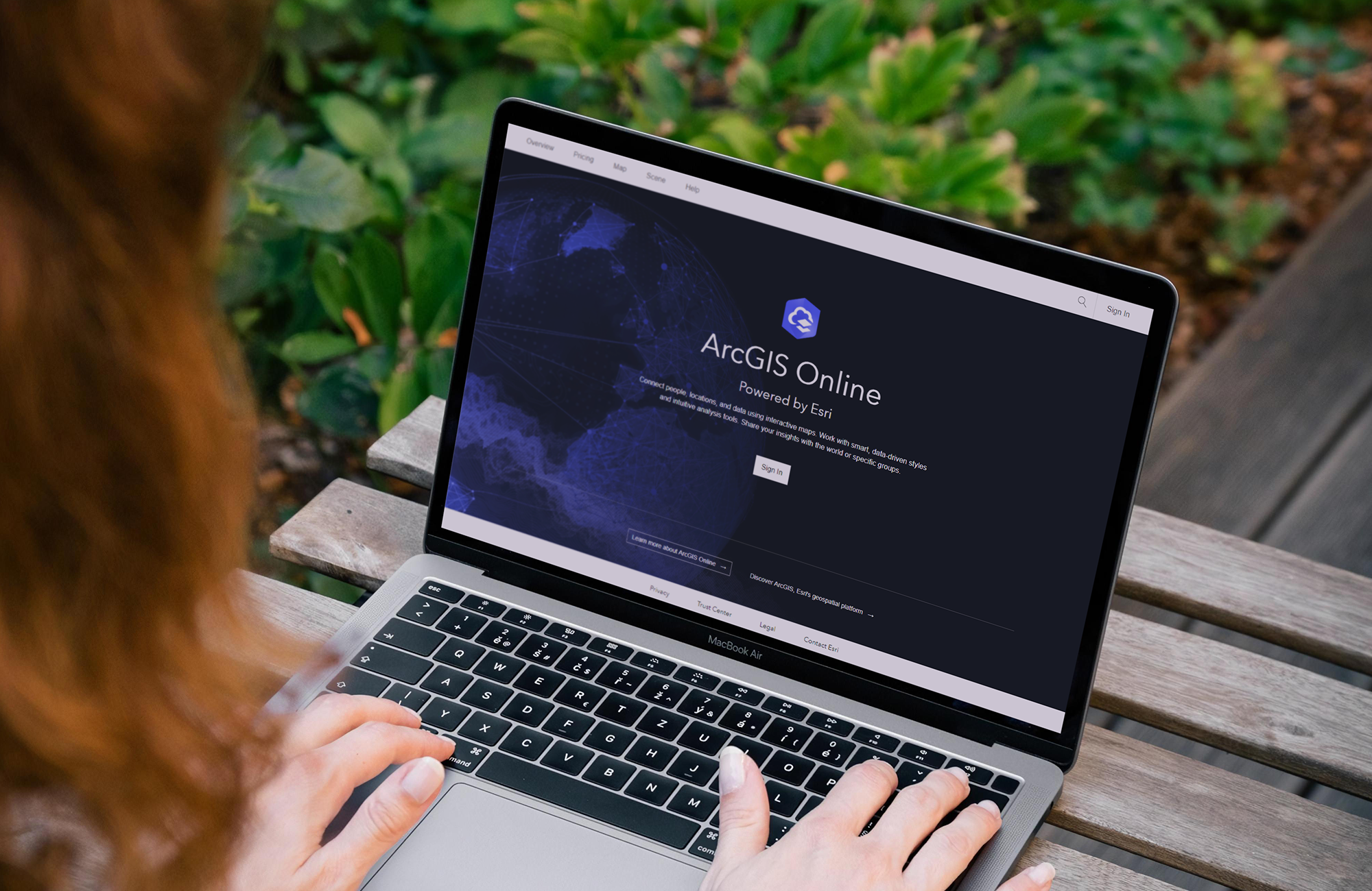
FLO worked with the City to migrate the existing data to ArcGIS Online, which provided a data and application hosting environment allowing more members of their staff to be able to edit and update data, as well as allowing secure information access from both computers and devices with no application installation needed.
ArcGIS Online also allows for easily managing data access through hosted views and other tools that allow public data sharing to be added easily and simply. Thus, along with the data migration, FLO provided training and data updates including processing as-built information, generating a coherent city-wide data structure that was up to date that enabled staff to focus on using the data and opportunistically update attributes while in the field. Since data updates were immediately visible, this increased trust in the system and encouraged City staff to use it as an important reference source. FLO also provided customized the automation of several data reporting tasks, including generating address data in the appropriate format to be ingested into the Oregon e-permitting system.
Learn More
Contact Us!
Thank you for your interest in FLO! Whether you are looking to inquire about a project or are interested in learning more about our services, please reach out to the FLO team!
