Asset Management
Asset management involves the entire asset life cycle. GIS is an integral part of the tools and processes involved and can save time and money. FLO’s GIS expertise helps create a common operational picture, maximizing asset capabilities and lifespan while reducing costs. Well-managed assets in GIS improve asset management system performance and enable valuable analysis, such as visualizing problem areas and identifying affected customers.
Services Provided
Asset Management
Asset Inventory, Inspections and Operations and Maintenance (O&M)
Knowing where your assets are is a key part of being able to manage them; being able to find them in adverse conditions is even better. Asset management systems integrated with GIS allow you to visualize and analyze all aspects of your physical and infrastructure assets. This strategic-level view will save you time and money by improving how you schedule and track your inspections, operations and maintenance activities, and asset upgrades, making them more efficient and easier to predict. And field staff will be able to find an asset quickly in the field, even in adverse conditions.
Web/Mobile Mapping
A common operating picture allows you to see all your properties, easements, assets, and important information in one place, helping staff be more efficient and effective whether they are in the office or the field. Mobile apps and maps can help staff find assets quickly and accurately and confirm they have the right asset before work starts. We develop and implement mobile and field-based GIS tools to help you efficiently understand and act on your asset system’s needs.
Esri Utility Network Services
The Esri Utility Network is the next step in managing your GIS asset data. While it is configurable to meet your organization’s needs and supports a range of network types, migrating your existing data may be daunting. We can help you through this journey with services scalable to your specific needs. Not sure where to get started? We can help you determine the best option for your needs. Not sure whether you are ready for the Utility Network yet? We can help you get started with an approach tailored for your organization that can be migrated in the future as needed. Don’t have advanced GIS expertise in-house? We can train your staff or provide on-call services as needed. Need a short burst of capacity to enter historical data into GIS? Let us do the heavy lifting by entering your as-builts or paper records and then setting you up for efficient operation.
Asset Management Systems Integration
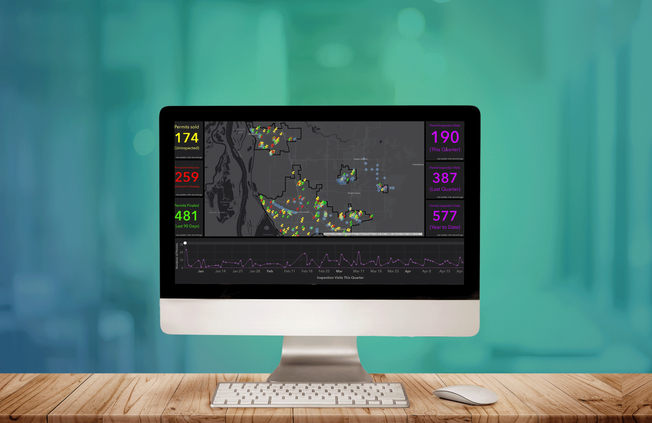
We know that the quality of your GIS data is crucial to getting the most out of your asset management system. We work with your asset management provider to understand how they integrate data and what data structures work the best with the system and associated workflows. We then ensure that the requirements are met, including unique IDs and appropriate data types. We can customize the data and the integration to meet your needs, whether pulling in the last inspection date or condition ratings for analysis or highlighting critical issues in a dashboard. If your dataset needs updating, or isn’t in GIS yet, we can capture it from as-builts or in the field. Once you’re set up, we can train your staff to manage the system and keep it up to date and provide ongoing support.
Contact
Asset Management Inquiries
Thanks for your interest in FLO. Whether you are looking to start a project, get support, or just have a general question, we'd like to hear from you. Please reach out and we will get back to you.

