Associations
Advocate, educate, build community, and operate programs—the mandates of associations are as broad as their missions are diverse. We create data analysis and visualization tools to help associations provide more value to members and their constituents, from amplifying advocacy campaigns to increasing operational efficiency.
Services Provided
Associations
Web Maps and Dashboards
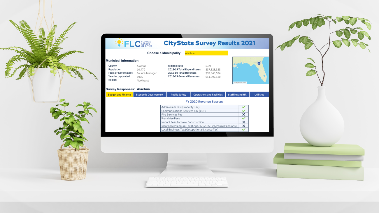
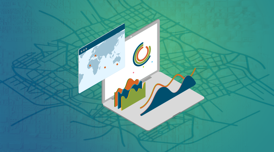
Transform your data into compelling visualizations that put information into the hands of your members. Our interactive web maps and dashboards facilitate clear communication and inspire your members to explore and learn.
ArcGIS StoryMaps
Tell your unique stories using ArcGIS StoryMaps to integrate data, graphics, photos and video into powerful storytelling. Whether you want to convey your services, share challenges your membership is facing, or have interesting data to share, StoryMaps bring your message to life.
Community Engagement
Your members' inboxes are filling up with endless messages: calls to action, funding requests, and more. Easily provide information and get the word out to all stakeholders with an interactive dashboard or data story and make your organization—and your mission—stand out from the crowd.
Surveys and Participatory Maps
Use the power of web surveys that combine traditional survey questions with mapping capabilities to get the best local knowledge from your members. Surveys with integrated maps, from city neighborhoods to state districts, allow you to gather targeted geographic information and reach specific communities.
Mapping and Line Drawings
Geographic data often exists only on paper maps or in spreadsheets. We harness the power of GIS and mapping to digitize your data and import existing GIS data to provide you with key data layers for use in web maps, StoryMaps, and surveys.
Demographic Analyses
Sometimes, you need to dig a little deeper to truly understand the issues. Our depth of experience in quantitative, qualitative, and spatial demographic analysis means we help you identify the root cause of long-standing challenges and develop innovative and comprehensive solutions.
Contact
Associations Inquiries
Thanks for your interest in FLO. Whether you are looking to start a project, get support, or just have a general question, we'd like to hear from you. Please reach out and we will get back to you.


