Thought Leadership
GIS That Works: A Manager’s Roadmap to Better Results

A Manager’s Guide to Getting Results from Your GIS Investment
Imagine this: a water main breaks on a busy street. Your field crew scrambles to find the correct shutoff valves that will isolate the main and impact the least people, but the only person who knows which ones are best is out sick. Sound familiar?
This kind of scramble isn’t just frustrating—it’s a red flag that your GIS isn’t doing what it should.
If your city’s Geographic Information Systems (GIS) isn’t delivering real-time, reliable data to your team, you’re not alone. Many local governments invest in GIS expecting better coordination and faster decisions, only to find themselves stuck with outdated maps, scattered data, and staff workarounds.
At FLO Analytics, we help cities turn GIS from a passive mapping tool into an active decision-making engine.
Here’s how to tell if your GIS is working for you—or holding you back—and what to do to fix it.
5 Signs Your City Needs a GIS Tune-Up
Your GIS should be more than a digital filing cabinet. When it’s set up and maintained strategically, it becomes a core system of record that supports daily operations, long-term planning, and better service delivery. But too often, cities find themselves with a GIS that’s underused, outdated, or misaligned with staff needs.
Here are five signs that your GIS isn’t doing its job and what that might be costing you:
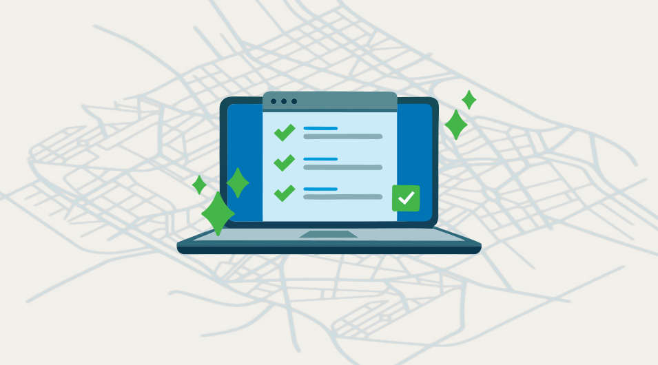
1. Field crews rely on memory or paper maps
Your GIS should serve as a single source of truth in the field. When crews rely on memory or outdated printouts, institutional knowledge walks out the door every time someone retires or calls in sick. A centralized, mobile-friendly GIS ensures that critical asset information is available anytime, anywhere.
2. Departments maintain separate datasets
When departments use their own systems, data becomes siloed, duplicated, and often contradictory. This not only creates confusion but slows down project timelines and leads to mistrust in the data itself. An integrated GIS helps your entire organization operate from the same playbook.
3. GIS updates are slow or incomplete
If your GIS data isn’t current, it’s not reliable and that creates risk. Whether it’s infrastructure work, zoning decisions, or emergency response, staff need to trust that what they’re seeing reflects reality. A modern GIS makes it easier to maintain up-to-date datasets through automated workflows and cross-department coordination.
4. Citizen inquiries take too long to resolve
When residents call about issues like potholes, property questions, or service disruptions, staff often scramble to locate the right information. Without centralized GIS access, they lose valuable time. A well-designed GIS empowers staff to quickly pull accurate data, reducing frustration for both employees and the public.
5. Public facility info isn’t reaching your community
You’ve got parks, trails, libraries, and other assets, but are people finding them? When public-facing GIS tools are limited or nonexistent, you miss a chance to build trust and boost engagement. Self-service web maps make it easy for residents to explore what your city offers and see how their government is working for them.
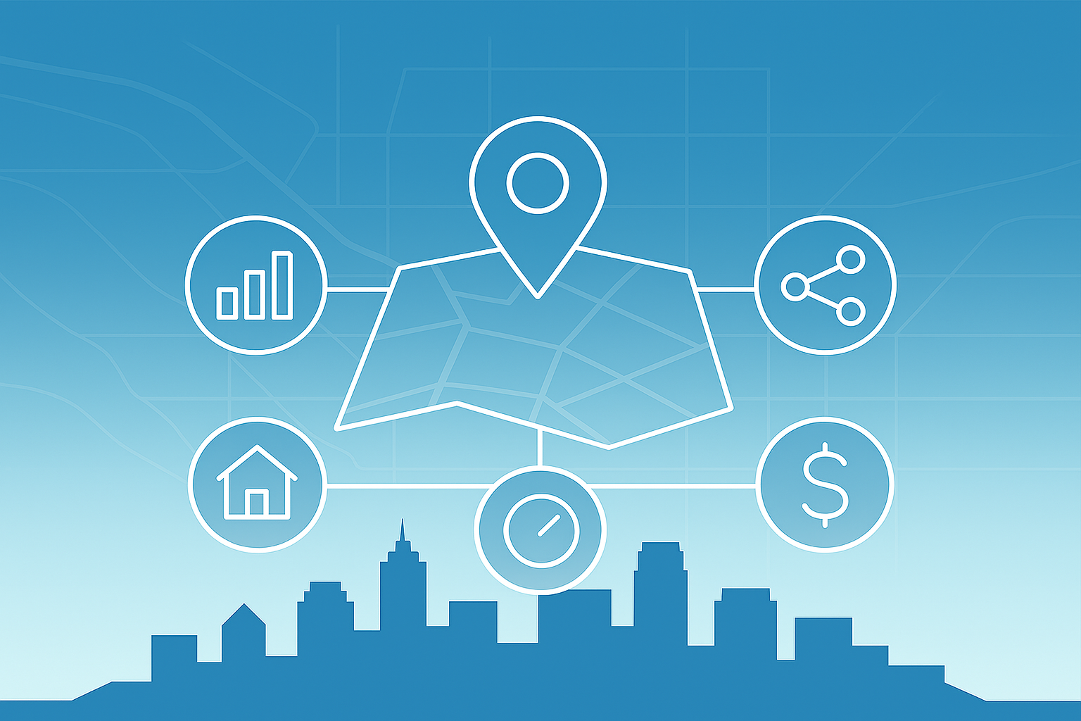
Why Forward-Thinking Cities Invest in Modern GIS
City leaders are being asked to solve complex problems with limited time, tight budgets, and growing community expectations. That’s why more local governments are moving beyond basic GIS and investing in modern, integrated systems that actually support day-to-day operations and long-term planning.
When implemented strategically, a modern GIS delivers real returns and helps cities work smarter, not harder.
Here’s how it supports more efficient operations across your organization:
Respond faster
Field teams access accurate data in real time—finding the right asset, reducing truck rolls and improving service.Communicate clearly
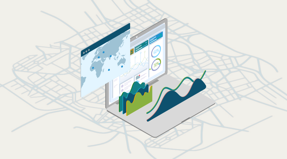
Self-serve web maps empower residents and reduce call volume.Plan smarter
Dashboards highlight maintenance needs and budget impacts for data-driven decisions.Collaborate better
Centralized data ensures all departments work from the same playbook.Scale with confidence
Cloud-based platforms like ArcGIS Online grow with your needs, while enterprise solutions support complex operations without surprise costs.
Your 3-Step Plan to a High-Impact GIS
Whether you’re launching a new GIS or reworking an existing one, success comes down to strategy, not just software. A high-impact GIS isn’t built all at once. It’s shaped by thoughtful planning, smart implementation, and long-term support.
Here’s how forward-thinking cities make it happen:
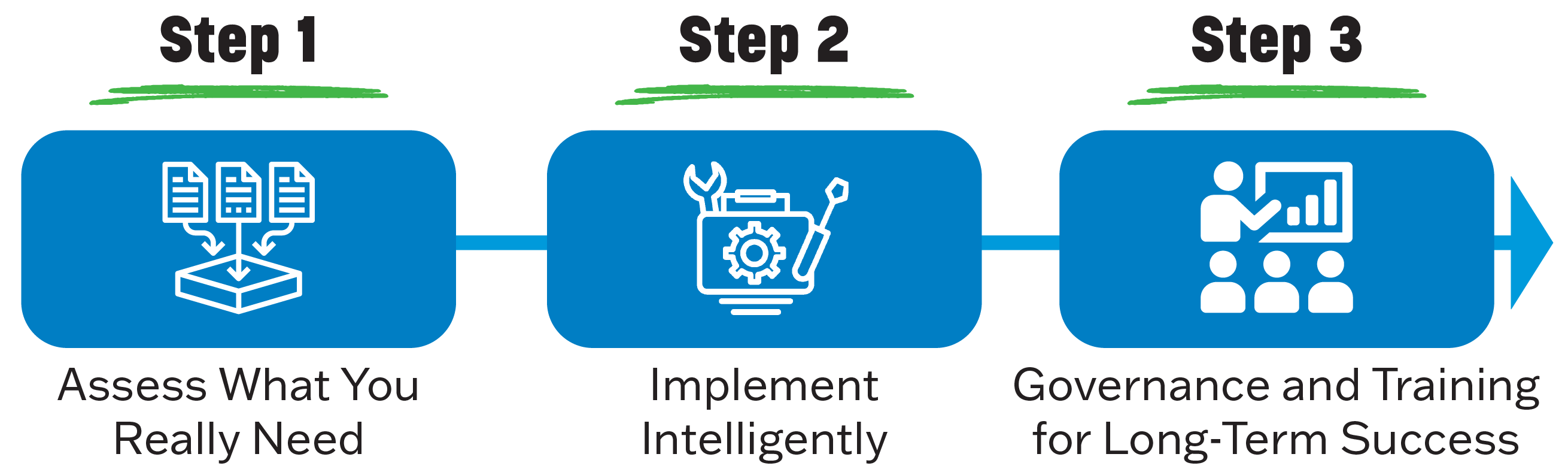
Step 1: Assess What You Really Need
Before you invest in new tools or upgrades, it's critical to understand what your organization actually needs from GIS. A focused needs assessment helps align your system with real-world workflows and goals.
Define goals by clarifying what your city needs GIS to solve or support.
Interview staff to uncover day-to-day pain points, workarounds, and unmet needs.
Identify key workflows along with the data types and update frequency they require.
Not sure where to start? Check out our DIY GIS Needs Assessment Guide to help you identify gaps, define goals, and build a roadmap for success.
Step 2: Implement Intelligently
With your needs defined, the next challenge is execution, without getting bogged down in complexity. A smart implementation focuses on scalability, usability, and quick wins that build internal support and momentum.
Start with cloud-based GIS platforms to test functionality and scale easily.
Use ready-made tools to avoid costly custom development.
Prioritize quick wins to build momentum and internal buy-in fast.
Step 3: Governance and Training for Long-Term Success
Even the best GIS setup will fall short without clear roles, accountability, and ongoing support. Long-term success depends on how well your team is equipped to manage and maintain the system over time.
Assign ownership by defining clear roles for data governance and stewardship.
Engage stakeholders early and often.
Train staff through hands-on learning so they can confidently use GIS tools.
Let’s Talk About Your GIS Goals
Whether you’re just getting started or ready to scale, FLO Analytics can help you build a GIS that works for your team and your community.
Contact us today for a no-jargon, no-pressure conversation about how to make your GIS investment deliver real results.
Contact
Ready to Improve your GIS?
Reach out and let’s build a plan that works for your team.

Share this article on social media/email
Author