Press Release
GIS for Small Cities: 4 Things to Consider Before Getting a GIS

Geographic Information Systems (GIS) provide local government with tools to improve the lives of citizens through increasing internal efficiency, boosting citizen engagement, and improving the delivery of services.
But when it comes to implementing a GIS for small cities and towns with limited budgets and experience with location-based technology, deciding where to begin can be daunting. To make diving in more manageable, start with a quick needs assessment that evaluates your aspirational and operational goals, identifies the benefits a GIS will bring, and considers the data and resources available to your organization.
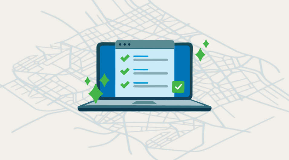
Here’s a simple checklist city and town managers can use to assess their GIS needs and confidently move forward:
1. Make some goals
Don’t skip this step! Laying out goals for how you hope a GIS can help your city or town is the most important thing you can do in preparation for getting a GIS. Goals can be city-wide or departmental—it’s fine to think high-level at this stage. An ideal goal should address an issue and identify the business value, like improving efficiency, transparency, or data confidence. Here are some goals you might consider adding to your list, based on common sticky issues many cities and towns often face:
- Make it easier for front desk staff to quickly find answers about a property or construction project when citizens have a question or a concern
- Allow public works field crews tools to digitally access and capture information in the field
- Provide community planners a better way to analyze development and planning impacts
- Improve public outreach and communication tools for community engagement staff
Do any of those goals resonate with you? Don’t forget to consider whether each one is long or short term, to help you identify priorities.
2. Explore staff roles, resources, and responsibilities
Dive into understanding your staff resources and departmental responsibilities, as well as identifying the tasks staff do day-to-day that may benefit from GIS. The aim here is to determine how your staff would use a GIS, what your organization feels comfortable taking on when developing a GIS program, and identifying whether you need to add dedicated GIS resources in the future.
If you have staff with previous GIS experience, that’s great—assess their skill levels and the amount of time they have available for using a GIS. If you don’t have anyone on staff with GIS experience, don’t worry! Your city can still benefit from a GIS, but you just may need some outside assistance from a GIS consultant.
3. Take a look at tech
Check into whether you have GIS applications currently in use. You might be surprised to find that you do. While you’re at it, take the opportunity to take stock of other systems (asset management, document management, etc.) that may benefit from integrating with GIS data. Want to visualize your assets in the field and click on the map to start a work order? Better find out if that is currently supported or not. Don’t overlook what hardware you use the most heavily either. Who uses iPads, Android tablets, web servers, or SQL Server machines at the city? If you don’t know the answer, your IT specialist will.
4. Got any spatial data?
The answer is almost certainly yes (though you may not know it!). Your planning and community development and public works departments are likely to be the largest users of spatial data, but parks, public safety, and even the front desk may well be tracking spatial data (does it have an address? Then you can locate it, and it counts as spatial data). Check in with all your departments to establish what sort of data they edit or collect (or would like to), as well as what comes in from external organizations like county, state, or federal partners. Is it in a central location where everybody can find the data they need? Is one department dependent on another for data? Do you have all the data you need for compliance and funding purposes? Finding the answers to these questions might not be simple but will certainly be worthwhile.
Once you’ve got your quick needs assessment done, you’re ready to start implementing a GIS (or making better use of the GIS you already have). We recommend you look into products by Esri, especially a product called ArcGIS online. It’s a great option for local governments new to GIS.
If you need help with next steps, we’re happy to talk you through implementation best practices. Get in touch through the contact form below.


