Accelerating Enterprise GIS at a Utility District
Client Name
Related Service
Related Sector
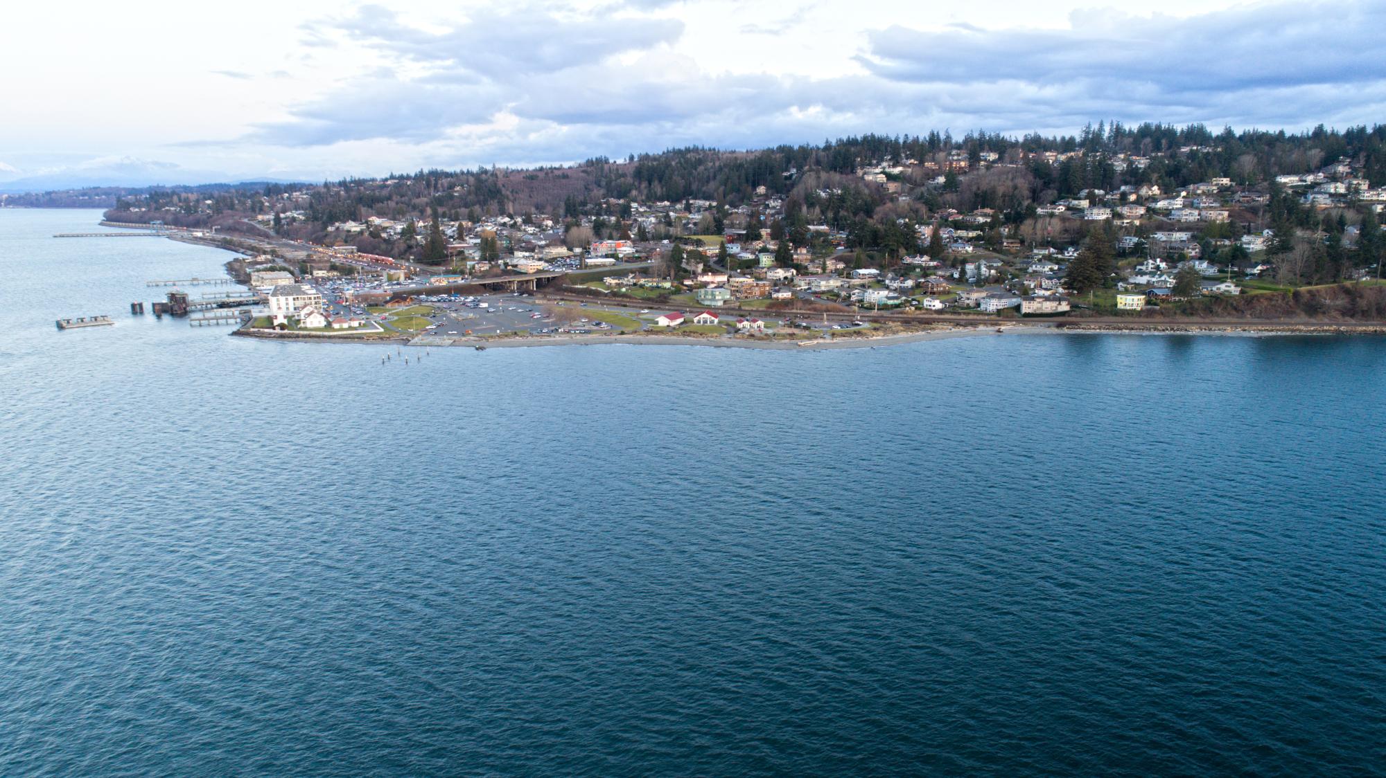
Mukilteo Water and Wastewater District is the oldest active district in the state of Washington and provides both water and sewer services to the Mukilteo and South Everett areas. The District has been expanding its use of GIS from separate ArcGIS Online hosted features for fieldwork with otherwise local GIS data to an integrated, on-premise Esri Enterprise system to provide data access and management capabilities across more staff. As part of this, a comprehensive knowledge transfer from staff was required to ensure that the data was up-to-date and complete, before staff retired and took that institutional knowledge with them. In addition, the District’s main GIS staff member was leaving soon and there would be a gap prior to any new hiring.
FLO began working with District to gather information about the current state of the system and begin documenting both the requirements and the existing Esri Enterprise environment. As this was an older version and not completely configured, the decision was made to start again and install the latest version along with creating an Esri Enterprise geodatabase hosted in SQL Server. At the same time, FLO assisted the District in reviewing their planned GIS interview questions for their hiring efforts, assisting with ArcGIS Online user management activities, and providing expert advice on GIS integration related to the District’s Asset Management System RFP, including reviewing responses received.
The new GIS Enterprise environment is configured with Esri best practices and connected to the District’s Active Directory for easy user creation and authentication. FLO and the District will be engaging in a data consolidation and migration project that will bring the data into Esri Enterprise geodatabases, from where it can be published and made available to all staff (as well as the planned asset management system). Existing staff will review the data and be able to directly update and apply changes as necessary or work with FLO to get new assets loaded if necessary, which will allow institutional District knowledge to be captured. Along with data updates, a new high-resolution GIS aerial image service will be built, and documentation and GIS training will be developed to ensure that staff can manage and work with the new system effectively. This is expected to increase data accuracy and productivity and will underpin the success of the asset management program. Throughout, FLO will be providing direct GIS support to the District, including data edits and administrative tasks.
Learn More
Contact Us!
Thank you for your interest in FLO! Whether you are looking to inquire about a project or are interested in learning more about our services, please reach out to the FLO team!
