Thought Leadership
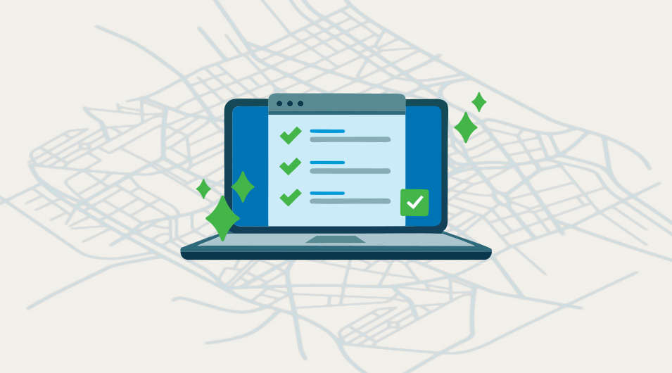
How Data Quality Supports Effective Asset Management

Key Takeaways
- Reliable GIS information is essential for effective asset management, emergency response, and long-term planning.
- Inaccurate or outdated information slows teams down and erodes trust in your asset management system.
- Clear workflows, field verification, and ongoing updates are critical for keeping GIS information accurate and dependable.
Effective Asset Management Starts with Reliable Data
Every public works department depends on data to manage infrastructure, schedule maintenance, and plan capital improvements. As we explored in our first post, How GIS Transforms Asset Management for Public Works, Geographic Information Systems (GIS) are the backbone of modern asset management. But even the most sophisticated GIS and asset management systems are only as good as the data they contain.
Incomplete, outdated, or inconsistent information leads to inefficiencies, safety risks, and lost staff trust. When crews don’t trust the system, they revert to institutional knowledge—slowing onboarding and increasing the chance of missed maintenance or asset failures.
What High-Quality GIS Data Looks Like
High-quality GIS data gives public works teams a dependable source of truth—something they can use confidently for daily operations, long-term planning, and emergency response. Instead of relying on memory or outdated maps, staff can access information that is structured, complete, and aligned across departments.
Before you dig deeper, consider the questions below. Where does your asset management system stand today? Is it accurate, consistent, and current? And most importantly—does your team trust it? Do you?
Questions to Assess Your GIS Data Quality
- Timeliness: How quickly are new assets (like as-builts) added to your GIS?
- Locational Accuracy: Are you using properly referenced source data (GIS, CAD, or PDF)? How precise are your asset locations?
- Attribute Accuracy: Are asset details (material, size, installation date) captured correctly and consistently? Do you have field verification workflows to fix errors?
- Completeness: Are all assets and their attributes accounted for in your system?
- Consistency: Do your data structures and relationships make sense? Are there duplicate or missing records? Do features connect to other features correctly?
- Thematic Accuracy: Are asset types, conditions, and statuses classified correctly?
If you found some gaps while going through these questions, you’re not alone. Most public works teams discover room for improvement. What matters next is having the right workflows to keep information accurate and up to date.
Building Effective Data Quality Workflows
Once you understand where the gaps are, the next step is putting the right processes in place to keep your GIS information accurate and trusted over time. The strongest public works programs rely on simple, repeatable workflows that make updates easy, keep staff engaged, and reduce the chance of errors slipping through.
Here are some of the practices we see working well:
Streamlined Data Entry and Updates
Keeping information current starts with a predictable update process. Three practices tend to make the biggest difference:
- Rapid integration is key. Add new as-builts and field updates as quickly as possible, using a defined process and turnaround time.
- Make field verification easy. Give field staff easy ways to report corrections or missing information, whether through email, digital forms, or mobile apps.
- Use automated validation checks. Use tools like domains, enforced GPS accuracy, and rules to ensure attributes are consistent, remove duplicate records, and identify logical inconsistencies.
Feedback and Accountability
Trust grows when staff can see how their input is handled. A few simple practices help keep everyone aligned and engaged:
- Establish feedback loops. Acknowledge submissions and notify staff when changes are made.
- Stay transparent. Maintain a visible backlog of pending edits and share progress updates.
- Recognize contributions. Build a culture of shared responsibility by celebrating staff contributions to data quality.
Continuous Improvement
Long-term accuracy comes from regular review and ongoing learning. Here's how you can help keep your system strong over time:
- Conduct regular audits. Schedule periodic reviews of GIS data for accuracy and completeness.
- Support continued training. Invest in ongoing training for both GIS editors and field staff.
- Keep documentation clear and accessible. Maintain clear, accessible documentation of data standards, workflows, and responsibilities.
Case Study: Using As-Built Audits to Improve Data Quality
The City of Monroe maintains a well-structured GIS database with domains and robust workflows that help field and office staff keep asset information current. To further improve data quality, the City partnered with FLO to conduct a detailed review of assets against as-built data. The review not only improved the data attribution, but it also helped identify missing assets, connectivity, and location issues. These improvements support faster maintenance response, fewer data errors, stronger staff engagement, and better long-term planning and risk management.
How FLO Analytics Supports Public Works Teams
FLO Analytics works with cities and utilities to strengthen the accuracy and reliability of their GIS and asset management systems. We help organizations establish clear asset identification standards, streamline workflows for updates and verification, and build internal capacity through training and modern GIS tools. Our approach meets you where you are, whether you're refining an existing system or building a stronger foundation for the future.
If you’d like a quick conversation about where your data stands and what improvements might have the most impact, we’re always happy to connect.
Contact
Ready to Improve your Asset Management?
Reach out and let’s build a plan that works for your team.

Share this article on social media/email
Author